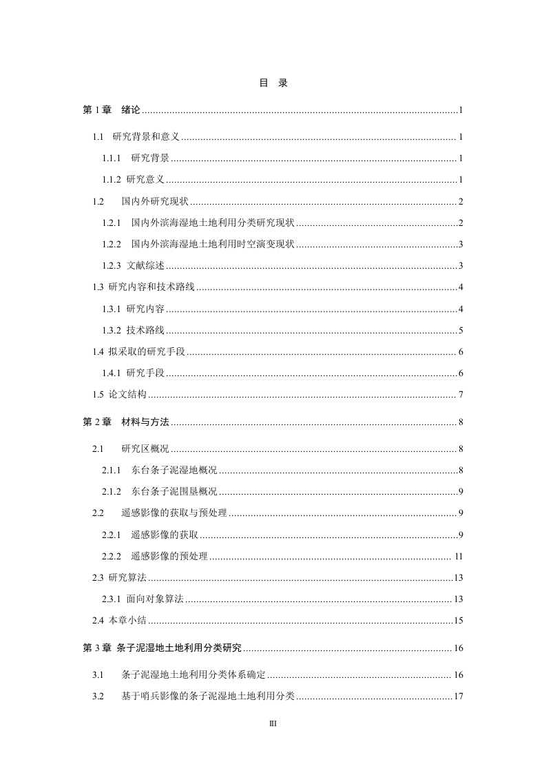
基于哨兵数据的江苏东台条子泥湿地土地利用分类研究摘要本文以2011年百万难涂计划和2018年《关于加强滨海湿地保护严格管控围填海的通知》两起政策为切入点,以江苏东台条子泥湿地的三期Sentinel-.2遥感影像数据为研究数据源,利用多尺度分割和基于样本的面向对象分类方法,对研究区进行土地利用分类,并计算土地利用动态度和土地利用转移矩阵],通过计算结果以分析其在政策前后土地利用发生的变化及造成变化的驱动原因。研究结果表明:2017-2022年间,农田和养殖池面积均有多增加,植被呈现先降后增趋势。综合土地利用变化动态度有所下降,2017-2019年造成土地利用变化的主要驱动因素是经济发展,2019-2022年造成土地利用变化的主要驱动因素是生态修复。关键词土地利用:多尺度分割:面向对象:东台条子泥湿地:土地利用分类A study on land use classification of strip mud wetlands in Dongtai,Jiangsu based on sentinel dataAbstractTaking the two policies of 2011 Million Beach Plan and 2018 Notice onStrengthening Protection of Coastal Wetlands and Strictly Controlling Reclamation as theentry point,the three phases of Sentinel-2 remote sensing image data of Jiangsu DongtaiStriped Mud Wetland were used as the research data source to classify the land use in thestudy area using multi-scale segmentation and sample-based object-oriented classificationmethods,and to calculate land use dynamics and land use transfer matrix,and thecalculated results were used to analyze the changes in land use that occurred in the studyarea before and after the policy and the driving causes of the changes.The results of thestudy showed that the area of both farmland and farm ponds increased more between 2017and 2022,and the vegetation showed a trend of first decrease and then increase.Theintegrated land use change motive attitude has decreased,and the main driver causing landuse change in 2017-2019 is economic development,and the main driver causing land usechange in 2019-2022 is ecological restoration.Keywords Land use;Multi-scale Segmentation;Object-oriented;Dongtai strip mud wetland;Land use classification目录第1章绪论…1.1研究背景和意义11.1研究背景…1.1.2研究意义12国内外研究现状........................................21.2.1国内外滨海湿地土地利用分类研究现状…1.2.2国内外滨海湿地土地利用时空演变现状12.3文献综述.....................313研究内容和技术路线…13.1研究内容13.2技术路线.1.4拟采取的研究手段1.4.1研究手段..61.5论文结构.…7第2章材料与方法.82.1研究区概况….82.1.1东台条子泥湿地概况2.1.2东台条子泥围垦概况.0.922遥感影像的获取与预处理。92.2.1遥感影像的获取.。.92.2.2遥感影像的预处理1123研究算法….132.3.1面向对象算法..1324本章小结..15第3章条子泥湿地土地利用分类研究。.163.1条子泥湿地土地利用分类体系确定…163.2基于哨兵影像的条子泥湿地土地利用分类.17



暂无评论内容