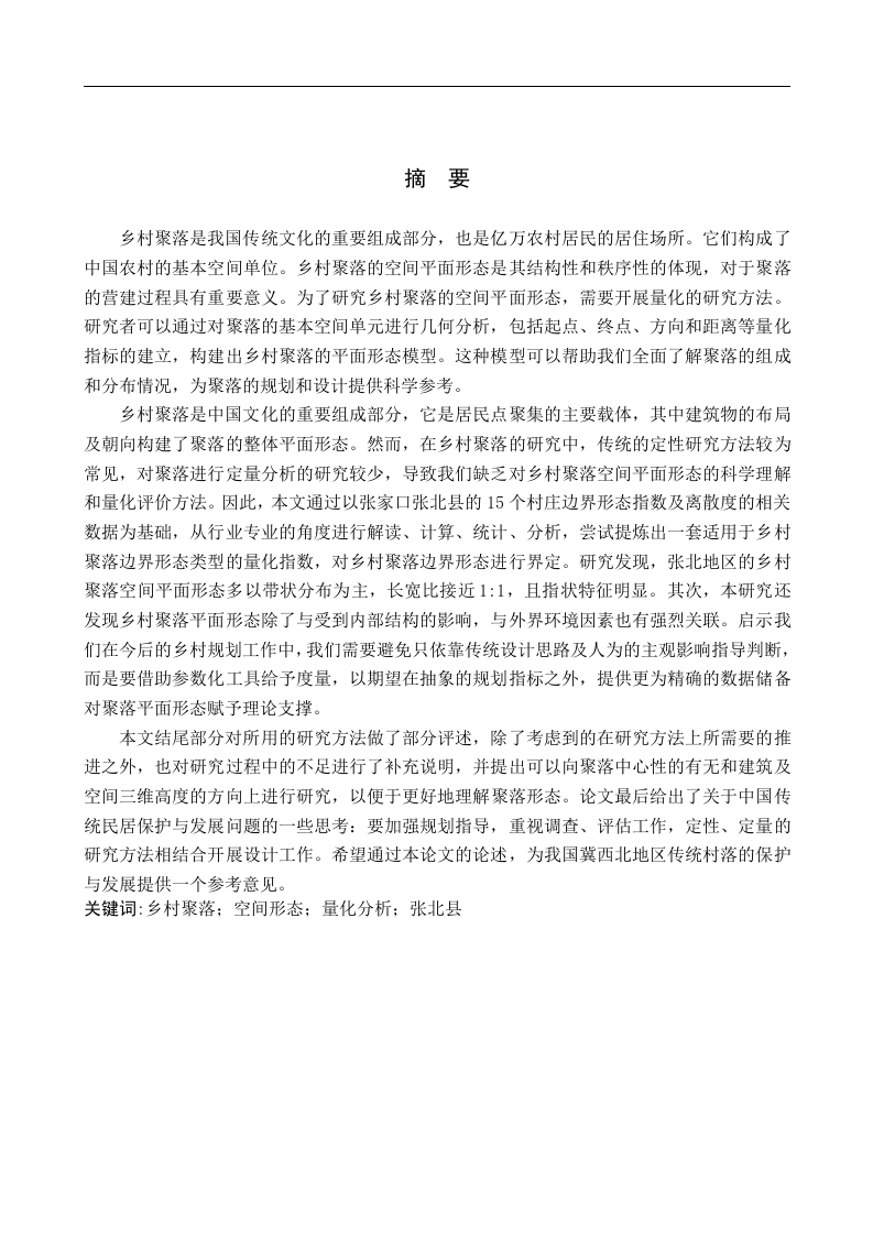
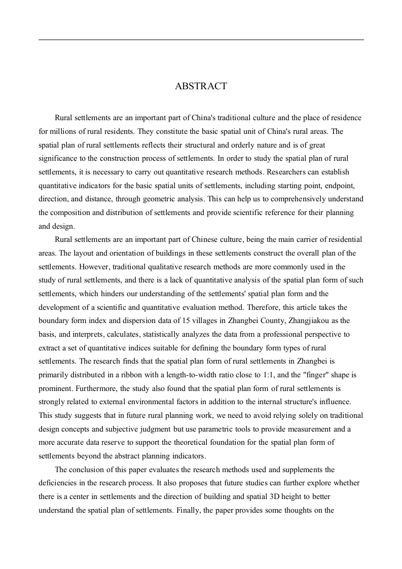
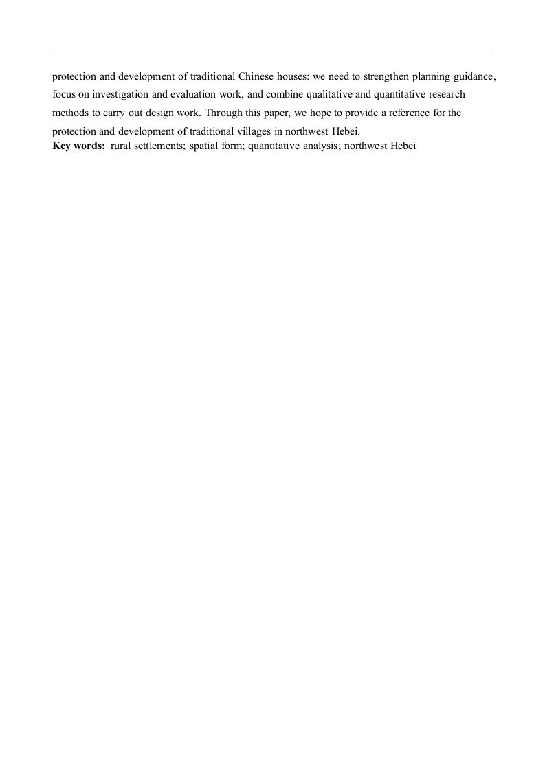
摘要乡村聚落是我国传统文化的重要组成部分,也是亿万农村居民的居住场所。它们构成了中国农村的基本空间单位。乡村聚落的空间平面形态是其结构性和秩序性的体现,对于聚落的营建过程具有重要意义。为了研究乡村聚落的空间平面形态,需要开展量化的研究方法。研究者可以通过对聚落的基本空间单元进行几何分析,包括起点、终点、方向和距离等量化指标的建立,构建出乡村聚落的平面形态模型。这种模型可以帮助我们全面了解聚落的组成和分布情况,为聚落的规划和设计提供科学参考。乡村聚落是中国文化的重要组成部分,它是居民点聚集的主要载体,其中建筑物的布局及朝向构建了聚落的整体平面形态。然而,在乡村聚落的研究中,传统的定性研究方法较为常见,对聚落进行定量分析的研究较少,导致我们缺乏对乡村聚落空间平面形态的科学理解和量化评价方法。因此,本文通过以张家口张北县的15个村庄边界形态指数及离散度的相关数据为基础,从行业专业的角度进行解读、计算、统计、分析,尝试提炼出一套适用于乡村聚落边界形态类型的量化指数,对乡村聚落边界形态进行界定。研究发现,张北地区的乡村聚落空间平面形态多以带状分布为主,长宽比接近1:1,且指状特征明显。其次,本研究还发现乡村聚落平面形态除了与受到内部结构的影响,与外界环境因素也有强烈关联。启示我们在今后的乡村规划工作中,我们需要避免只依靠传统设计思路及人为的主观影响指导判断,而是要借助参数化工具给予度量,以期望在抽象的规划指标之外,提供更为精确的数据储备对聚落平面形态赋予理论支撑。本文结尾部分对所用的研究方法做了部分评述,除了考虑到的在研究方法上所需要的推进之外,也对研究过程中的不足进行了补充说明,并提出可以向聚落中心性的有无和建筑及空间三维高度的方向上进行研究,以便于更好地理解聚落形态。论文最后给出了关于中国传统民居保护与发展问题的一些思考:要加强规划指导,重视调查、评估工作,定性、定量的研究方法相结合开展设计工作。希望通过本论文的论述,为我国冀西北地区传统村落的保护与发展提供一个参考意见。关键词:乡村聚落:空间形态:量化分析:张北县ABSTRACTRural settlements are an important part of China's traditional culture and the place of residencefor millions of rural residents.They constitute the basic spatial unit of China's rural areas.Thespatial plan of rural settlements reflects their structural and orderly nature and is of greatsignificance to the construction process of settlements.In order to study the spatial plan of ruralsettlements,it is necessary to carry out quantitative research methods.Researchers can establishquantitative indicators for the basic spatial units of settlements,including starting point,endpoint,direction,and distance,through geometric analysis.This can help us to comprehensively understandthe composition and distribution of settlements and provide scientific reference for their planningand design.Rural settlements are an important part of Chinese culture,being the main carrier of residentialareas.The layout and orientation of buildings in these settlements construct the overall plan of thesettlements.However,traditional qualitative research methods are more commonly used in thestudy of rural settlements,and there is a lack of quantitative analysis of the spatial plan form of suchsettlements,which hinders our understanding of the settlements'spatial plan form and thedevelopment of a scientific and quantitative evaluation method.Therefore,this article takes theboundary form index and dispersion data of 15 villages in Zhangbei County,Zhangjiakou as thebasis,and interprets,calculates,statistically analyzes the data from a professional perspective toextract a set of quantitative indices suitable for defining the boundary form types of ruralsettlements.The research finds that the spatial plan form of rural settlements in Zhangbei isprimarily distributed in a ribbon with a length-to-width ratio close to 1:1,and the "finger"shape isprominent.Furthermore,the study also found that the spatial plan form of rural settlements isstrongly related to external environmental factors in addition to the internal structure's influence.This study suggests that in future rural planning work,we need to avoid relying solely on t



暂无评论内容